Reading Time: 4 Minutes 35 Seconds
General info
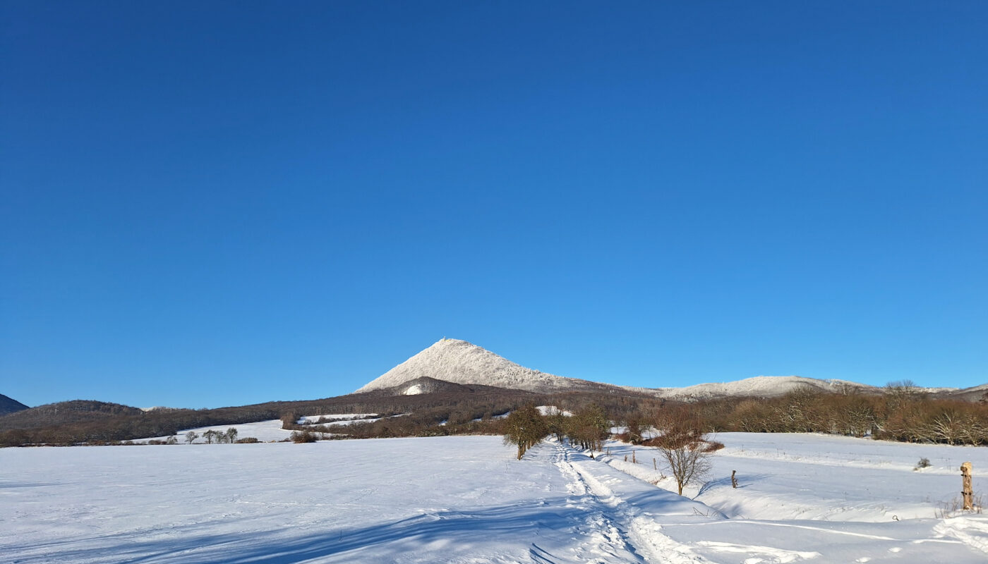
Milešovka is the tallest mountain in the Central Bohemian Highlands (české středohoří, in Czech) and rises at 836.7 meters high.
The mountain is famous for being the windiest place in the Czech Republic, recording the highest number of storms and foggy days per year.
Like other hills in the region, Milešovka is composed of basalt and is part of a protected landscape area.
Its slopes are covered by a lush forest featuring diverse tree species, including oak, beech, and lime.
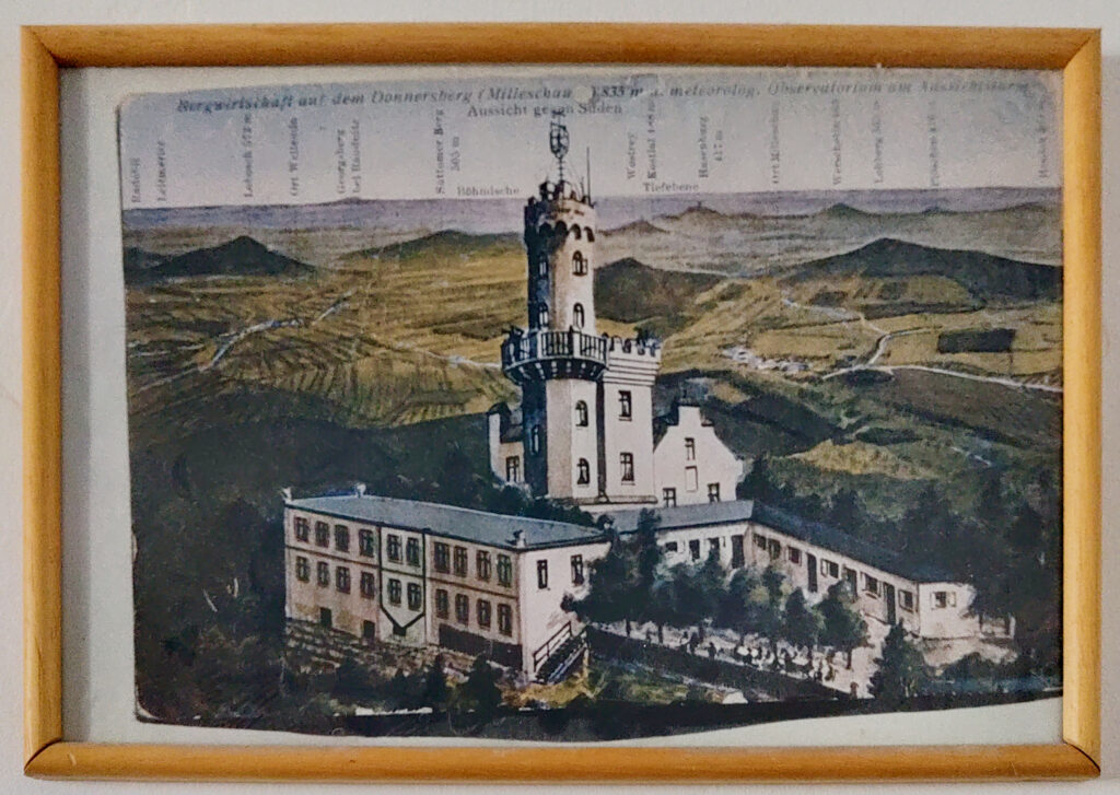
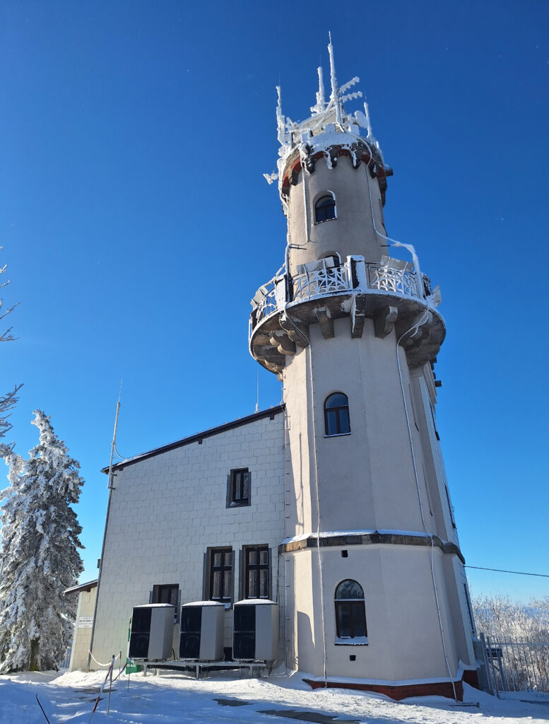
At the peak stands the oldest mountain observatory and meteorological station of the Czech Republic, alongside a cottage called “Chata Milešovka”, which provides shelter during cold days and a variety of hearty food and drinks.
The observation tower on Milešovka
The building has a romantic architecture and is topped by a a 19-metres-high tower.
It was erected in 1904 under the leadership of Reginald Czermack, a businessman from the nearby town of Teplice, following the design of architect Hock.
The observatory started measuring the weather on the 1st of January 1905.
Today, the observatory is managed by the Institute of Atmospheric Physics of the Czech Republic and can be visited, except for very harsh weather conditions.
To enter the site, you must purchase a 50Kč ticket at the automat and then scan the bar code to open the turnstile.
Once inside the building, access to the rooms is restricted, as there is someone living on the premises.
From the entry hall you climb the narrow stairs until the second floor, where an information panel and few objects are exhibited in an open room.
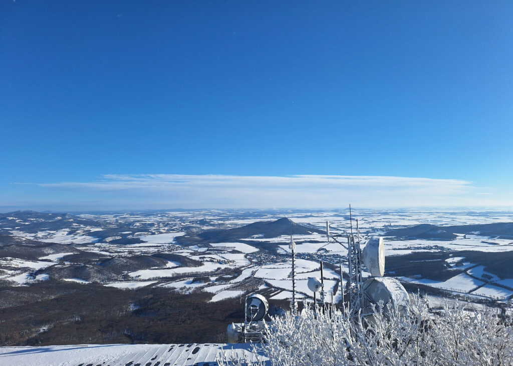
Finally, you continue to the last floor, where you exit onto the balcony to enjoy the mesmerizing 360° panorama view.
In clear days, you will see Lovoš, Říp, Házmburk, Krušné hory (the Ore Mountains), Jizerské hory (the Jizera Mountains) and many other places.
How to get there
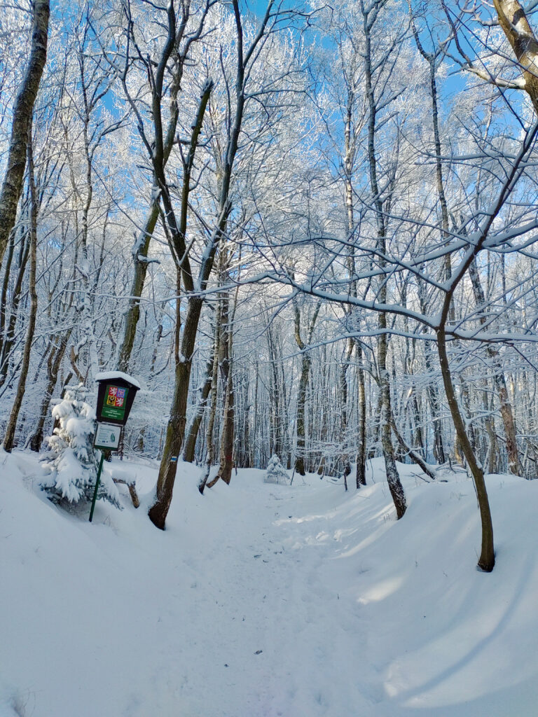
The only way to reach the peak of Milešovka is on foot.
You can, however, get closer to the mountain and its base by other means of transport.
By car
Travelling by car is the most convenient option, as you can park at the bottom of the mountain and chose one of the several trails to get to the summit.
- The red trail that starts in Milešov is the most popular hike. The return trip is approximately 5 km with an elevation of 400m.
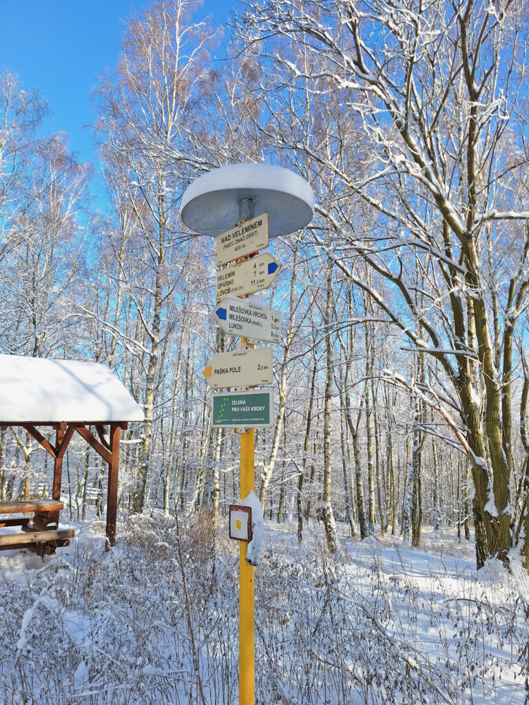
Depending on the season, you might find free parking in the village; otherwise you can leave your car at the Milešov car park for 50Kč/day (price at the time of writing). - If you prefer a longer hike, then park in Velemín for free, and climb via the blue trail.
For the descent, opt for the red path and, at the crossing with the wooden shelter, deviate to connect to the blue and return to the parking.
This hike is about 10km with an elevation gain of 500m. - Another option is to park in Bílka (also here for 50Kč/day) and partially follow the Cesta přátelství (the path of friendship).
To reach the top of Milešovka do the red trail first, then the blue one.
You can then come down the same way (5km in total), or continue along the blue path until the village of Černčice and then the green trail back to Bílka.
This second route is 7km long with an elevation of less than 400m.
You can also create your own trail, as there are really many beautiful hiking options available. Whichever route you choose, you will be rewarded.
By public transport
If you travel by public transport, it can be a bit more challenging.
- By train to Lovosice + bus to Milešov + hike along the red trail, as mentioned in the first point above.
- By train to Lovosice + bus to Velemín + continue by foot along the blue trail, as described in the second option above.
- There is also another way, which involves reaching Bořislav by train and hike for about 5km one way.
It is not a good choice if you come from Prague, though, as it either takes too long, or you have to change three trains.
Remember to check the most recent schedule on pubtrans.cz while planning your journey.