Reading Time: 2 Minutes 50 Seconds
Intro
Lužické hory (or Lusatian mountains, in English) are a mountain range located in northern Bohemia, extending into Germany, south of Zittau.
The highest peak is Luž, which stands at 793m and gives the name to the mountain range.
In 1976 the region was declared a Protected Area.
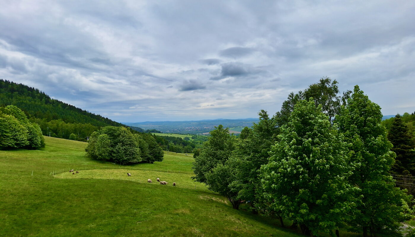
We rode during a cold spring day, and luckily avoided the late afternoon rain.
The trail is as per this link, with a total elevation gain of ~1000m – don’t let mapy fool you! Import the gpx into your device and you’ll see!
We started from and ended at the car park in Polevsko. The trail can be easily modified to start from Nový Bor train station and do the loop from there.
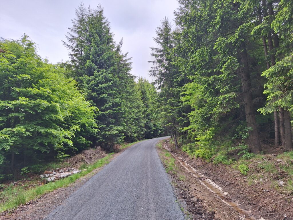
The route has many sections on asphalt, but it is often dirty, with stones, soil, and pine needles. There are also holes here and there, so it is recommended for a non-road bike.
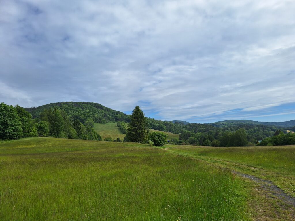
The ride in Lužické hory
For the first 17km you follow the “Cesta k sousedům” marked trail.
This is a 33 km cycling route created in 2008 by the Czechs in cooperation with the Germans from Saxony to link the two neighbouring countries.
It connects Nový Bor (in Czech Republic) to Oybin (in Germany), and it translates into English as “The Road to the neighbors”.
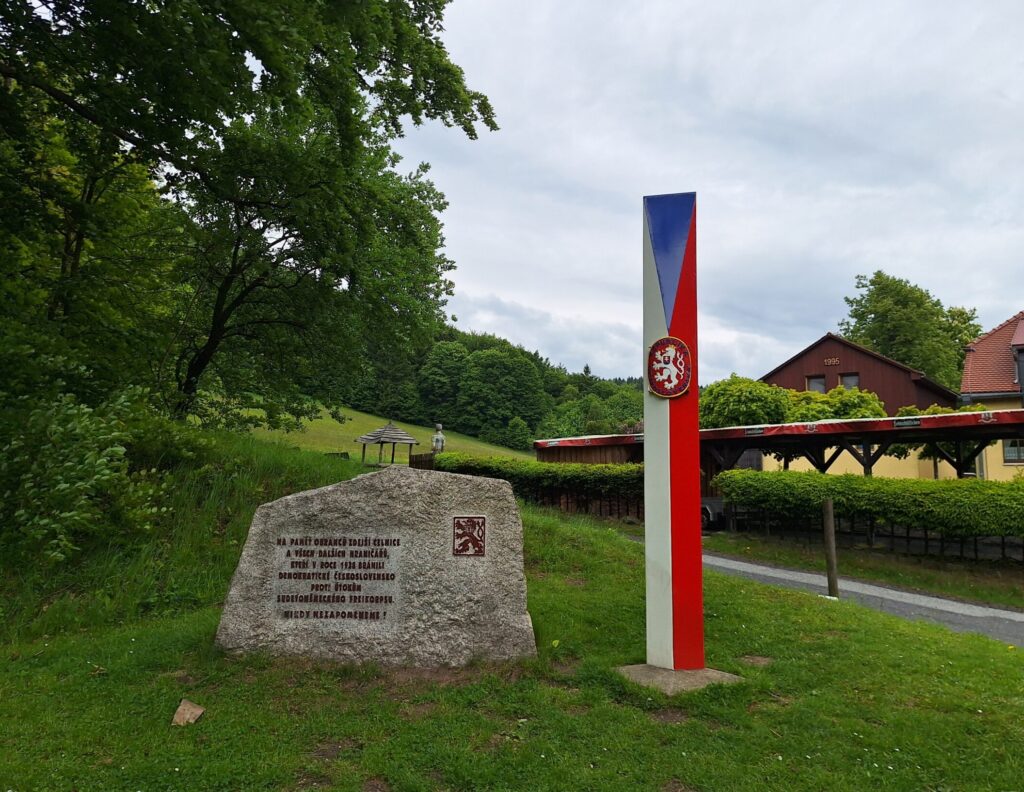
That is until point 4, where you take the 3061 to reach first Chata Luž, and then the border with Germany in Waltersdorf.
At the border you can peek a bit further, and from the hotel’s car park you have a beautiful view over the valley below.
If you are hungry or thirsty, you can stop at the restaurant in Chata Luž. They have indoor and outdoor seating, plus bike racks. The food is not the best, but looking at the bright side, the menu is quite wide.
You then throw yourself on a long downhill, the first part of which is on commie concrete slabs.
At the end, you will be in the village of Dolní Světlá, where you find other options for food (haven’t tried!).
Then follow the 3061 to reconnect to the “Cesta k sousedům” and at point 7 you can stop to climb few steps down and see the Naděje dam.
At point 8 you leave the cycling path and cut through the forest for another long downhill.
If you want to visit the ruin of the Milštejn castle (close to point 9) you will have to leave the bike somewhere and walk up the marked hiking trail, as that section is not cyclable.
Then continue until reaching the 3007 in direction of Cvikov.
Before entering the town, you divert to join the newly created path called “Svatá Zdislava“, in honor of Saint Zdislava, patron of love for the neighbor and family, who lived in the area.
The route follows the former railway line that connected Svor to Jablonné v Podještědí via Cvikov.
You then follow the route between the highway and the new rail until you come back to the section already cycled in the morning, and, with the last climb, reach your destination.
I hope you liked riding in this beautiful forest of the Lužické hory. See you!